Source: One Step Blog – By: Chris Zegras (Octuber 6th, 2015)
A major U.S. “big box” store has been running a radio ad lately in which the idea of Boston as a “city of firsts” figures prominently: the nation’s first city police department, the nation’s first subway (i.e., the “T”), etc. Considering transportation more generally, Boston has long been at the vanguard among cities in the U.S. Boston was a leading metropolitan area in the 1960s “freeway revolt” – a movement borne of distrust of authority and community anger at top-down decision-making that plowed highways through inner-city neighborhoods. Forty-five years ago, Greater Boston became the first metropolitan area in the U.S. to have a nearly complete moratorium declared on highway construction.
In the immediate aftermath of the moratorium came the Boston Transportation Planning Review (BTPR), a unique planning process which aimed to balance traditional technocratic transportation planning with broader participation to more meaningfully involve a range of interests, increase transparency, and more evenly consider a wider range of impacts (including social and environmental), at multiple scales.* The result of this “open” planning process, published in 1972, would eventually lead to major transformations in our region’s transportation system, including the extension of the Red Line to Alewife, the relocation and extension of the Orange Line, and the permanent cancelation of several inner-city highways. The BTPR also officially “birthed” the idea of depressing the Central Artery (I-93), the project which would ultimately become known as the “Big Dig.”
Fast forward nearly 50 years, and today we all enjoy the fruits of the BTPR and decades of sometimes amazing feats of political, financial and civil engineering: the Rose Kennedy Greenway, the Zakim Bridge, the “Big Dig” and Ted Williams Tunnels, and neighborhoods – like my own Cambridgeport – spared the ravages of highways tearing through them. Quality public transit is in demand: MBTA ridership hit record highs last year, and will play a key role in fueling growth across the region. Yet, today, Greater Boston finds its transportation system in crisis. Last winter exposed the fragility of MBTA services; the system faces an estimated $7.3 billion maintenance backlog; and the estimated cost of extending the Green Line light rail service 5 miles into Somerville and Medford recently escalated by about $1 billion, implying a total cost of nearly $3 billion.
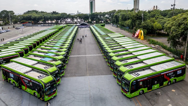
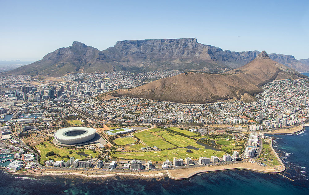
So, we face the challenging situation of needing transit expansion to better serve current and future demand while being unable to afford the system we have. Improved bus service can help and examples of high quality, bus-based, surface-level public transit exist in places from Mexico City to Malmö (Sweden), Cleveland to Cape Town. But, effectively running high quality bus service on city streets can be a challenge, as Boston’s own Silver Line attests. The best examples include separated rights of way (i.e., dedicated bus lanes) and prepayment of fares (before boarding) at quality stations – an approach widely known as bus rapid transit (BRT). Despite its promise for Boston and growth worldwide, BRT remains controversial. Operating on streets long-dominated by cars can pose difficult tradeoffs, and people tend to associate BRT with the “second class” service provided by typical buses: slow, unreliable, with long, uncomfortable waits and rides.
In an attempt to change the way we think about bus-based transit and understand its implications for our region, our neighborhoods, and our streets, MIT”s Mobility Futures Collaborative and Media Lab’s Changing Places have been developing tools to enable more meaningful citizen engagement in the transportation planning process. With support from the Barr Foundation, our interactive and tangible tools are inspired and enabled by the open data and open source movements and motivated by the continuing controversies around transportation project implementation in Boston. We seek to usher in a new form of co-creative transit planning, whereby a range of stakeholders work together in problem-solving and solution co-designing. Starting from the premise that meaningful public engagement is fundamental to doing transit right, we hope to enable inclusive and authentic dialogue to move mobility forward in Greater Boston.

This week we will pilot our participatory tools in a series of public workshops to be held at the Roxbury Innovation Center. These tools include the CityScope – an interactive platform utilizing physical models (built from LEGOs) and 3D projection – to represent neighborhood and street level decisions like alternative bus corridor and station-level designs. We have adapted the CityScope to visualize traffic based on the outputs of SUMO, an open source traffic modeling software. The second tool, CoAXs is a web-based public engagement platform for collaborative,accessibility-focused transit planning. CoAX is built on top of Conveyal’s Transport Analyst and Open Trip Planner – an open-source software platform for transit analytics and customer information.

CoAXs (left) and the CityScope neighborhood-scale model (right)
Our objectives are to bring various stakeholders together to use these new interactive tools for facilitating mutual learning through constructive dialogue about public transit concepts, trade-offs, and impacts. We aspire for the tools to allow individuals to contribute their own ideas into mobility planning exercises and help build consensus through data-driven interactions and dialogue. The workshops this week will give us a first indication of whether the tools live up to their design expectations.

(click here for brief animatio
Greater Boston continues to innovate in transportation. The MBTA was one of the nation’s first transit agencies to publicly release its real-time vehicle location data for use by third party smartphone app developers; today some 60 private apps are available. Zipcar, the nation’s first major carshare company was founded here as was Bridj Bus, the nation’s first on-demand, “pop up” bus service. Aiming to continue in this recent tradition of innovation and hold true to the “open planning” spirit of the original BTPR, we hope to help create a better transit system by offering a space to interact, imagine, learn and invent, together.
* A detailed assessment of the BTPR can be found in Ralph Gakenheimer’s 1976 book Transportation Planning as Response to Controversy: The Boston Case (MIT Press). A brief review of the BTPR’s implications for transit planning and funding can be found here.
Special thanks to the extended CityScope/CoAXs Team working on this project: Ryan Chin, Kuan Butts, Allentza Michel, Ariel Noyman, Deborah Perrotta, Jeff Rosenblum, Anson Stewart, Phil Tinn, Ira Winder, our partner, Conveyal, and our sponsor: Barr Foundation.